GA 7040 – Bollard For Cheap
Description
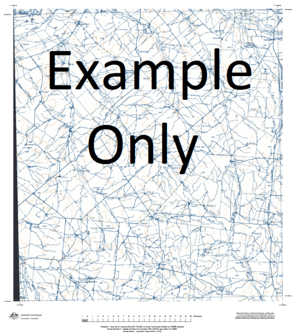
This Topographic Map is produced by Geoscience Australia; Australia s national geospatial organisation.
GA topographic maps (many of which are produced in partnership with the Army) are generally older than those maps produced by the State Governments over the same area. This makes GA maps particularly useful for identifying historic features, such as old mines and diggings.
Geoscience Australia maps generally considered to be more pleasing in design and compilation then the more modern State Government productions.
At this scale, 1cm on this map represents 1km on the ground. A standard map (which is square) covers an area of approximately 54km by 54km, with a contour interval of 20m. This map contains natural and constructed features including road and rail infrastructure, vegetation, hydrography, contours, localities and some administrative boundaries.
Please note the date of the map, as this will impact the currency of information, particularly regarding infrastructure, roads, etc.
Cameron Corner Claypan Tank Wright Bore Tilparee Bore Homestead Dam Coobowie 1 Bollards Lagoon Pam Yard Burruna 1 Wirha 1 Bawley Plains 370 Mile Trig Polketa Waterhole Wirra Bore Tilpareea Bore Doughboy Bore Wuroopie 1 Twilight Bore Grant Tank Oakes Tank Mulga 1 Wild Dog Bore No 1 Bore Mulga Bore Grant Dam Pam Tank Jacks Camp Bore Fridge Bore Plotosus 1 360 Mile Trig Fifteen Mile Tank Tilparee 1 Innamincka No 1 Bore Yuningurie Waterhole New Mulga Bore Mulga 2 Middle Dam Box Swamp Spices Bore Maraku 1 Pam Bore Battunga 1 Claypan Dam Tower Bore Brunna Bore Eight Mile Flat Sturt Stony Desert Stoney Sturt Desert Sturt Desert Sturts Stony Desert
Additional Information
| Title | Paper, Laminated |
|---|
Related products


linkresortus.shop © 2025 All Rights Reserved