GA 1647 – Greenough Cheap
Description
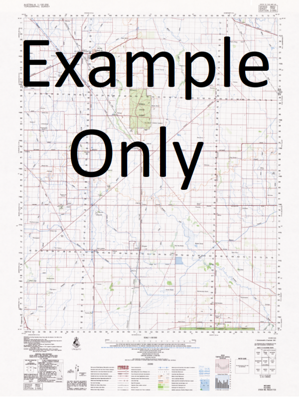
This Topographic Map is produced by Geoscience Australia; Australia s national geospatial organisation.
GA topographic maps (many of which are produced in partnership with the Army) are generally older than those maps produced by the State Governments over the same area. This makes GA maps particularly useful for identifying historic features, such as old mines and diggings.
Geoscience Australia maps generally considered to be more pleasing in design and compilation then the more modern State Government productions.
At this scale, 1cm on this map represents 1km on the ground. A standard map (which is square) covers an area of approximately 54km by 54km, with a contour interval of 20m. This map contains natural and constructed features including road and rail infrastructure, vegetation, hydrography, contours, localities and some administrative boundaries.
Please note the date of the map, as this will impact the currency of information, particularly regarding infrastructure, roads, etc.
Argyle Bore Bajelia Tank Boodallia Outstation Bush Bay Campbell Tank Cape Peron Flats Denham Hummock Elbow Shoal Greenough Point Grey Point Long Point New Beach No. 1 Tank No. 5 Bore No. 7 Bore Pipeline Tank Reynold Shed Stepco Tank Uenoo Waterhole West Bore Western Tank Gascoyne Flats Campbells Tank Uendoo Pool Bajelia Dam Reynolds Tank Forty-Two Mile Tank Denhams Hummock Peron Flats Cape Peron Cape Peron North Point Hautsfonds
Additional Information
| Title | Paper, Laminated |
|---|
Related products


linkresortus.shop © 2025 All Rights Reserved