
GA 1545 – Edel Online now
Description
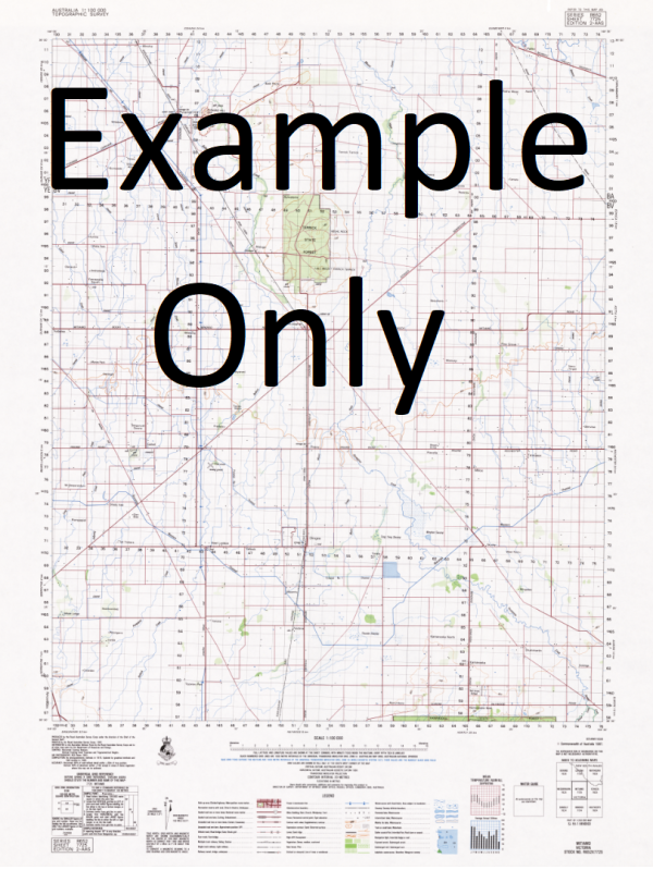
This Topographic Map is produced by Geoscience Australia; Australia s national geospatial organisation.
GA topographic maps (many of which are produced in partnership with the Army) are generally older than those maps produced by the State Governments over the same area. This makes GA maps particularly useful for identifying historic features, such as old mines and diggings.
Geoscience Australia maps generally considered to be more pleasing in design and compilation then the more modern State Government productions.
At this scale, 1cm on this map represents 1km on the ground. A standard map (which is square) covers an area of approximately 54km by 54km, with a contour interval of 20m. This map contains natural and constructed features including road and rail infrastructure, vegetation, hydrography, contours, localities and some administrative boundaries.
Please note the date of the map, as this will impact the currency of information, particularly regarding infrastructure, roads, etc.
Useless Loop Ant Island Bellefin Prong Biddy Giddy Outcamp Black Rocks Blind Inlet Blind Strait Briggs Rocks Broken Down Head Brown Inlet Bulgoo Well Cape Bellefin Cape Heirisson Cape Ransonnet Caratti Bar Carlabawangy Well Carrarang Cattle Trough Clough Bar Cocotra Well Colaert Bay Coolboo Well Crayfish Bay Crayfish Bay Well Dirk Hartog East Sand Edel Land False Entrance False Entrance Blowholes False Entrance Well Foster Outcamp Freycinet Reach Friday Island Gabber Point Gerritsen Cove Heirisson Prong Inner Bar Kells Rock Longtom Bay Lovell Tank Marinus Point Meade Island Middle Flat Middle Tank Monkey Rock Mount Direction Mount Dorrigo North Sand Outer Bar Passage Well Pepper Point Ransonnet Rocks Sandhill Well Sandy Point Shelter Bay Shoal Flats Slope Island Smith Rocks South Passage South Sand Steep Point Sunday Bay Sunday Island Sunday Island Nature Reserve Surf Point Thunder Bay Thunder Bay Blowholes Tumbledown Point Two Wells Unknown Island Useless Inlet Useless Loop Primary School Wilya Mia Yabbra Well Zuytdorp Tank Shark Bay Salt Works Branes Rock Epineux Ipineux Boat Haven Loop Head Island Dulverton Bay Epineux Bay Zuytdorp Point
Additional Information
| Title | Paper, Laminated |
|---|
Related products


linkresortus.shop © 2025 All Rights Reserved